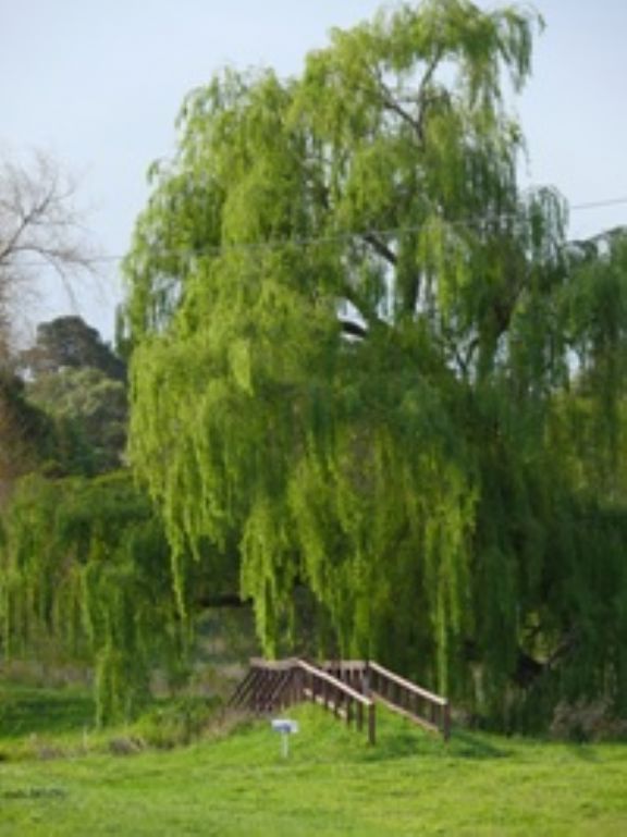
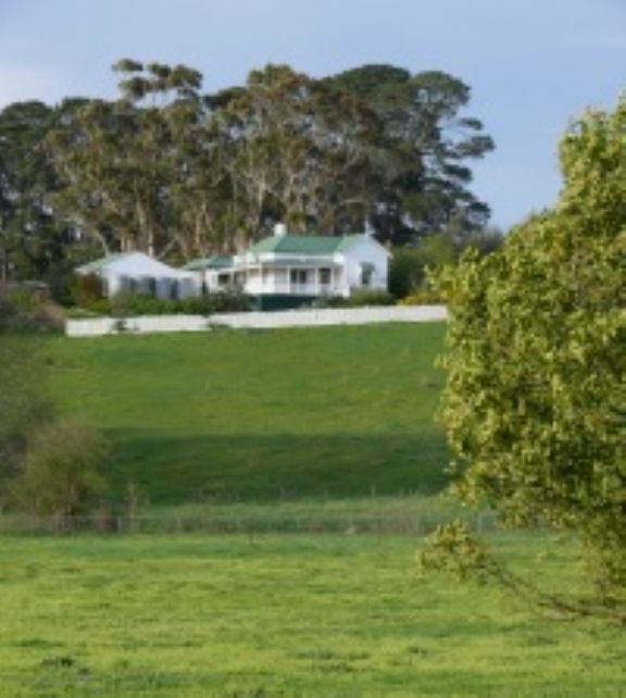
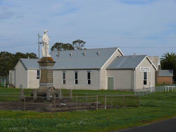
Byaduk
Byaduk was settled in the early 1860s, and named after an aboriginal word for stone tomahawk.
It’s claim to fame are the nearby Byaduk caves which are considered to be the most extensive and accessible sets of lava caves in Australia.
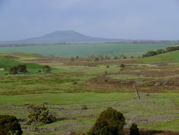
The youngest volcano in Victoria and the highest volcanic point in the Western District Plains is Mt Napier. In the Mt Napier State Park, 20 kilometres south of Hamilton, the volcanic activity occurred less than 10,000 years ago. A major eruption of fluid basaltic lava for more than 24 kilometres along the valley of Harmans Creek.
Byaduk caves formed when lava flowing from the volcanic crater was quickly cooled by outside air, leaving a crust with hot liquid lava flowing beneath. When the lava flow ceased, a hollow tube was left behind. The caves are accessed through collapsed roof sections and display many well preserved features left by the retreating and cooling lava including lava ‘tide marks’ on cave walls, lava stalactites and various joint and flow layering structures.
The largest caves are 18 metres wide, 10 metres high and extend 20 metres below the surface. Walking tracks follow cave edges and have a number of viewing points to observe flora, fauna and lava features.
West of the Byaduk caves, near the limits of the Harmans Valley flow, are a number of unusual clusters known as Lava Tumuli or blisters. These unusual circular mounds or hummocks of rock, up to 10 metres high and 20 metres in diameter, were caused by the pressure of the liquid lava flow beneath the thin crust of the lava tubes. These lava domes are considered to be unique in Australia and most likely rare on a world scale.
The Lava Tumuli can be seen along the edge of the Harmans Valley flow at Wallacedale, 13 kilometres west of the Byuduk Caves.
|